DRONE SOLUTIONS FOR PUBLIC SAFETY & INFRASTRUCTURE
Program Support for Police, Fire/EMS, Utilities & Engineers
Expert Infrastructure Inspections (Desktop & Field Based), Mapping, 2D & 3D Modeling
Public Safety (Fire / Police / EMS) Drone Program Creation Support


Expert Guidance on FAA Compliance and Program Launch
From Vision to Flight: Expert Support for Every Stage of Your Drone Program
We specialize in end-to-end UAS program development—creating Standard Operating Guidelines (SOGs), evaluating drone platforms and technologies, and building mission-ready operations tailored to your organization’s needs.
Our team includes FAA-certified remote pilots, commercial manned pilots, civil engineers, GIS experts, and unmanned systems professionals with advanced degrees and decades of combined experience—ranging from 5 to over 40 years. We’ve supported over 35 specialized drone use cases and tens of thousands of flight hours across public safety, enterprise, and government sectors.
From launching fire, police, and EMS drone programs to enabling enterprise operations with photogrammetry, thermal imaging, and compliance-focused workflows, we deliver field-tested, scalable solutions backed by deep industry connections and technical expertise.


Our team delivers specialized drone operations and program development support tailored to the needs of public safety, utility, and infrastructure clients.
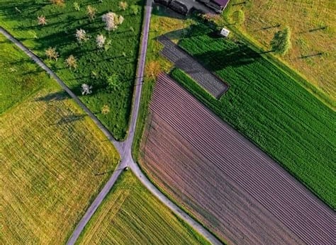
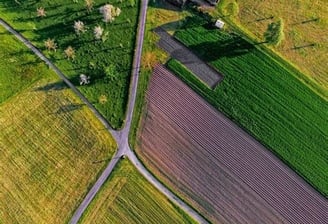


AERIAL MAPPING
Detailed maps and 3D models for accurate project planning
DRONE PROGRAM CREATION SUPPORT
Lay the groundwork for a successful UAS program


FAA COMPLIANCE SUPPORT
Navigate FAA regulations by securing waivers and COAs
CONTACT US


Ready to take your project to new heights with expert drone services or UAS consulting?
From precision mapping and infrastructure inspections to FAA regulatory support, we deliver the expertise you need to succeed. Reach out today to discuss your goals and receive a tailored quote.
cONTACT
info@madrivermapping.com
860.352.1178
© 2025. All rights reserved.